A brief history of the park
From the Middle Ages to the present day
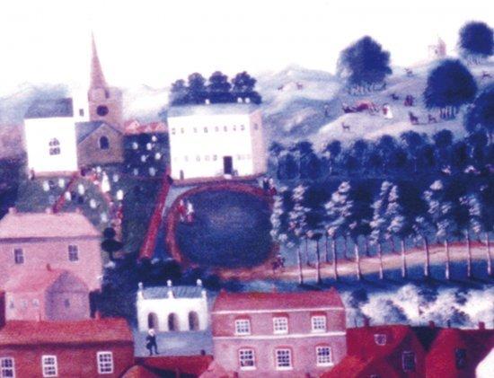
At the very top of the park, near the Rolling Pin (the mound with the ring of trees) is an example of a local pudding stone, which gave the town its name. In the Middle Ages, Saxon settlers named their new hamlet Caesteles-hamm, meaning ‘the water meadow by the stone heap’, which has evolved into modern-day Chesham. Pudding stones were used in the Chilterns by Neolithic man to mark routes and important meeting places. They also form the foundations of the nearby 12th Century parish church of St. Mary.
Please take a look at our History page for more info and read on here too.
The first record of the land where the park is located is its ownership by the Sifrewast family in the 12th Century.
The Whichcotes acquired the land in the 17th Century and created the avenue (now known as the Rue de Houilles in honour of Houilles in France, with which Chesham is twinned) by planting a double row of elm trees. A mansion house, Bury Hill House, once stood in the area where the Guide Hall is now located.
William Lowndes bought the land in 1802, demolished Bury Hill House and added the land to the grounds of The Bury. The park was then let out for grazing. In 1845 the elm avenue was felled and replaced with a single row of elms. The avenue was gravelled in the 1890s.
During World War One, the park was used for training soldiers in bridge ;
